Bidspirit auction | Mid-20th Century Ordnance Survey East
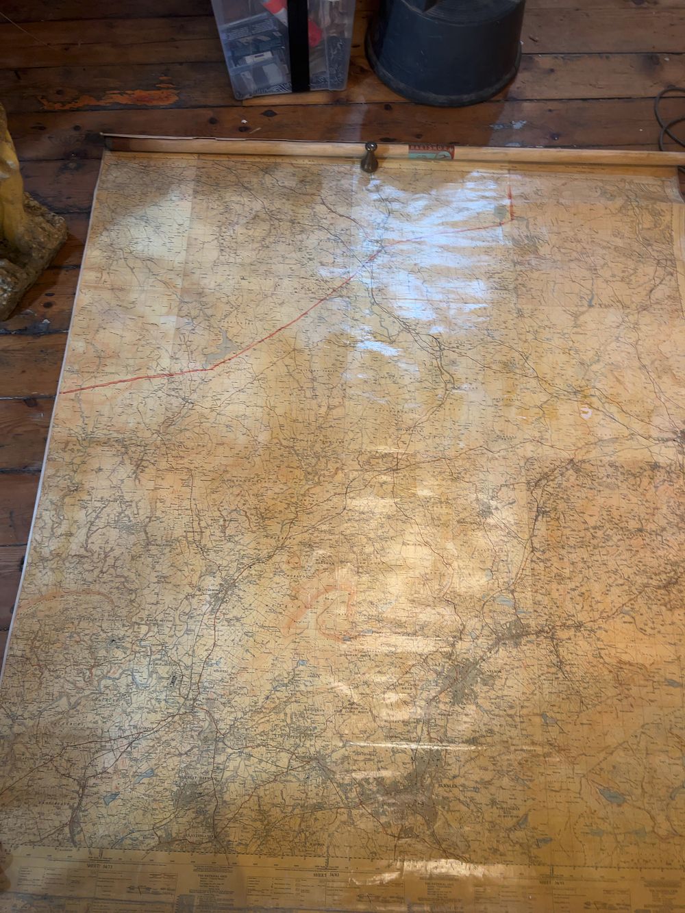
Mid-20th Century Ordnance Survey East Lancashire Wall Map on Hartshorn Roller - A large-format Ordnance Survey wall map of East Lancashire, dating to the post-WWII period. The cartography is printed on a heavy paper substrate, possibly linen-backed, and mounted onto a spring-loaded wooden roller mechanism. The map covers a significant portion of the Hyndburn and Ribble Valley districts, clearly showing the towns of Clayton-le-Moors, Great Harwood, Church, and the fringes of Burnley. Detailed topographical information includes grid lines at one-kilometre intervals, bench marks, and contours with heights in feet above mean sea level at Newlyn. The margin contains technical data regarding the National Grid, citing a Transverse Mercator projection and Airy spheroid, with a specific note stating the magnetic variation for June 1946. A brass pull-knob is fixed to the top centre of the mounting. The wooden roller retains a rectangular red and teal-blue paper label reading HARTSHORN in large block capitals, with smaller text above reading MADE IN CANADA.