Bidspirit auction | A Framed Admiralty Chart Number
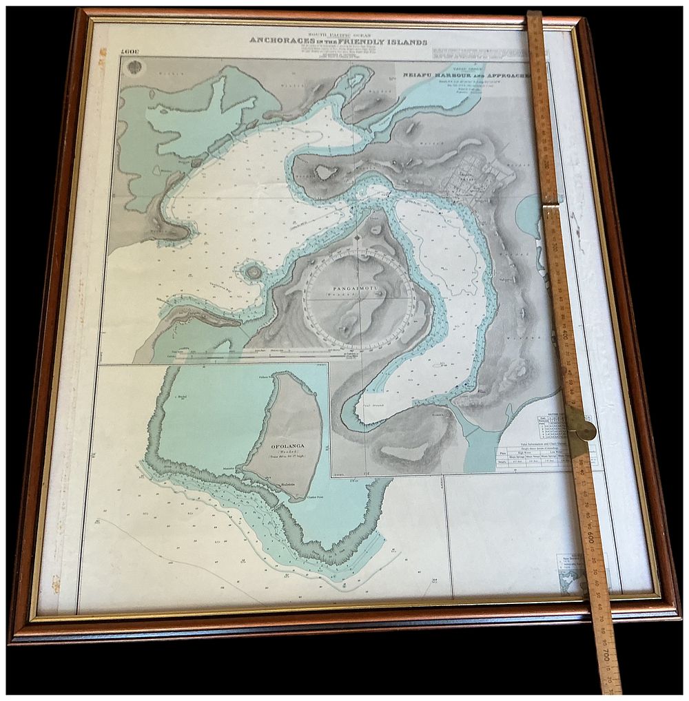
A Framed Admiralty Chart Number 3097 South Pacific Ocean Anchorages in the Friendly Islands. No reserve. Cannot Post - A large-scale framed engraved nautical chart titled SOUTH PACIFIC OCEAN ANCHORAGES IN THE FRIENDLY ISLANDS. The chart provides detailed seafaring data for regions of Tonga, featuring a main map of NEIAFU HARBOUR AND APPROACHES within the VAVA'U GROUP and an inset of OFOLANGA. A prominent compass rose is centred over PANGAIMOTU. The work is executed with fine engraved lines, depicting hachured topographical features, depth soundings, and coastal outlines. The top left corner is printed with the chart number 3097. The bottom right corner features a crest containing the words ADMIRALTY and NEW ZEALAND. The print is housed in a dark-stained bevelled wooden frame with a gilt-effect inner slip. Vertical sight size: 700mm.