Bidspirit auction | A Framed Nautical Chart of
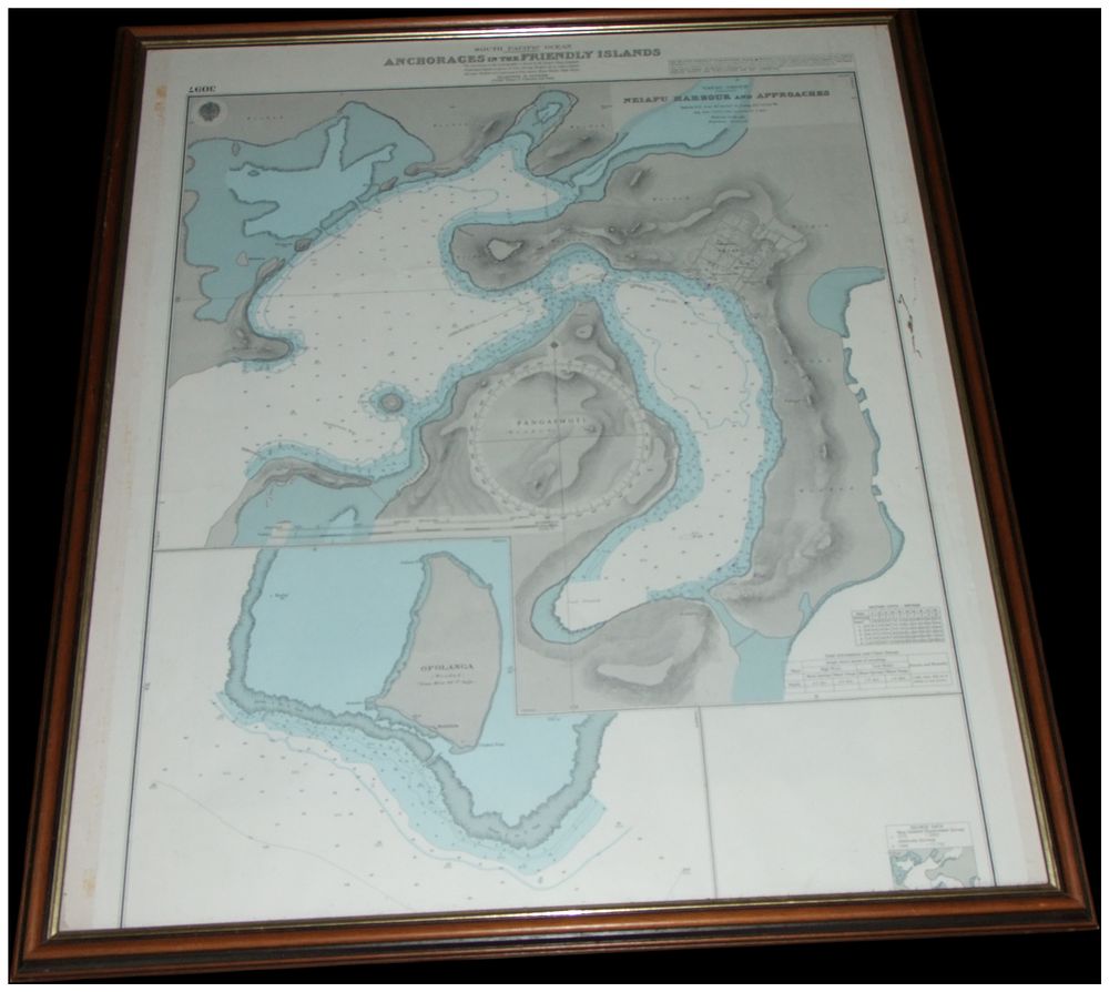
A Framed Nautical Chart of the South Pacific Ocean Anchorages in the Friendly Islands Tonga Chart Number 2307. Cannot post. No reserve. - A framed lithographic nautical chart titled SOUTH PACIFIC OCEAN ANCHORAGES IN THE FRIENDLY ISLANDS. The chart is printed with the identification number 2307 in the upper left corner. The composition includes a large hydrographic plan of NEIAFU HARBOUR AND APPROACHES in the VAVAU GROUP, centring on the island of PANGAMOTU, and a smaller inset for OFOLANGA. The map provides detailed navigational soundings and topographical features, with the sea areas highlighted by a light blue wash. The lower right corner features printed tide tables and a circular crest depicting an anchor, although the text encircling this device is not legible. The chart is housed in a dark-stained wood frame with a narrow gold-coloured inner slip and is protected by glass glazing.