Bidspirit auction | A Collection of Approximately 30
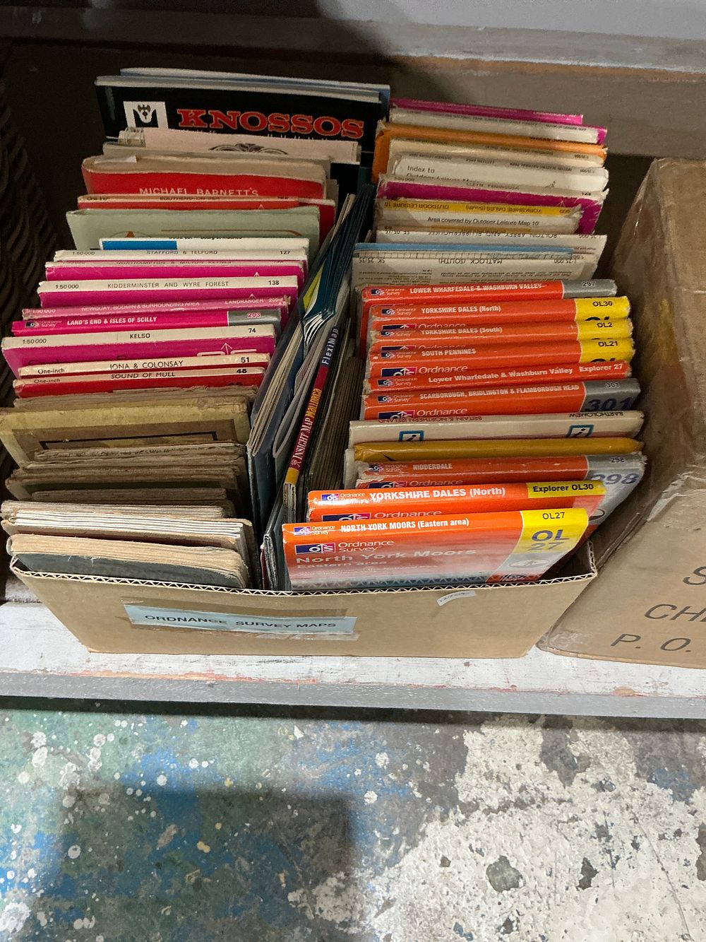
A Collection of Approximately 30 Ordnance Survey Maps and Travel Books - A collection of approximately 30+ maps and travel books, predominantly published by the Ordnance Survey. The lot includes various maps from the Explorer and Outdoor Leisure series with orange and yellow covers, featuring regions such as the Yorkshire Dales (OL30, OL2), North York Moors (OL27), South Pennines (OL21), Lower Wharfedale and Washburn Valley (277), and Scarborough, Bridlington and Flamborough Head (301). Also present are Landranger series maps with pink and red covers, including Stafford and Telford (127), Kidderminster and Wyre Forest (138), Land's End and Isles of Scilly (203), Kelso (74), Iona and Colonsay (37), and Sound of Mull (48). Other items in the group consist of a large-format black-bound volume titled Knossos, an Insight Map Mallorca Fleximap, and a red-spined book by Michael Barnett. The collection includes several older, thicker map folders that appear to be early 20th-century paper or cloth-backed editions. The items are contained within a cardboard storage box with a blue adhesive label reading ORDNANCE SURVEY MAPS and handwritten markings P. O. and CH.